


Why Your Work Site Needs a GPR Survey Before Digging
If you call Wyoming or South Dakota home, you understand that the region is growing. New homes, road improvements, and utility upgrades are signs of a community moving forward. But beneath the surface of these exciting projects lies a hidden network of pipes, cables, and infrastructure that keeps our daily lives running smoothly. Damaging this network can halt a project and even put lives at risk.
This is where Ground Penetrating Radar (GPR) comes in. GPR technology allows construction teams, homeowners, and city planners to see underground without breaking ground. Before excavators or shovels ever touch the dirt, GPR surveys provide a clear map of what lies beneath. Keep reading to understand why your work site needs a GPR survey before digging.
Introduction to GPR Surveys
Construction and excavation require more than just blueprints and heavy machinery. They require knowledge of the unseen environment.
Defining GPR Surveys
GPR is a non-destructive method for geophysical mapping that uses radar pulses to image the subsurface. It acts somewhat like a fish finder but for dirt and concrete. A technician pushes a GPR unit, which looks a bit like a lawnmower, across the ground surface. This unit sends high-frequency radio waves into the soil.
When these waves hit buried objects or changes in material properties, they bounce back to the surface. The unit records these reflections and translates them into data that a trained analyst interprets to identify pipes, conduits, rebar, voids, and even changes in soil layers.
Why GPR Surveys Are Essential Before Digging
Digging blindly is a gamble no one should take. While calling 811 to locate public utilities is a legal requirement and a significant first step, it only covers lines up to the property line. Everything past that meter on private property remains a mystery.
GPR surveys bridge that gap. What GPR can detect for its groundbreaking uses includes private utilities, abandoned lines, and non-conductive materials, such as plastic pipes, that traditional electromagnetic locators might miss. By providing a comprehensive view of the subsurface, GPR surveys ensure that excavation teams proceed with confidence and caution.
The Risks of Digging Without a GPR Survey
Skipping a GPR survey might seem like a way to save time or money upfront, but the potential consequences often far outweigh the initial investment. Your work site needs a GPR survey before digging to avoid potential hazards and stay legally compliant.
Potential Hazards
The most immediate danger of digging without a survey is physical harm. Striking an underground power line can cause severe electrocution or fatal injuries to equipment operators and nearby workers. Hitting a gas line can cause explosions or fires that threaten the job site and the surrounding neighborhood.
Even damaging a water main can cause massive flooding, undermine the excavation site's stability, and create dangerous sinkholes. Beyond dramatic accidents, cutting a fiber-optic cable can cut off internet and communication services for businesses, emergency responders, and residents, disrupting the heartbeat of the community.
Legal and Financial Consequences
The repercussions of a utility strike extend well beyond the job site. Responsible parties face hefty repair bills that can reach thousands or even tens of thousands of dollars. Regulatory bodies may impose significant fines for failing to take appropriate safety precautions.
If an accident interrupts services to local businesses or homes, lawsuits for lost revenue and inconvenience typically follow. Insurance premiums for construction companies will also increase significantly after a safety incident. In severe cases, negligence can cause the suspension of contractor licenses, effectively shutting down a business.
Benefits of Conducting a GPR Survey
Investing in a GPR survey is an investment in a project's success and safety. With a GPR survey, you can dig more precisely and efficiently.
Safety
The primary benefit of a GPR survey is protecting human life. When operators know the exact location and depth of buried hazards, they plan their excavation accordingly. They can choose safer digging methods, such as hand digging or vacuum excavation, near critical infrastructure.
This knowledge reduces the risk of accidents, keeping fathers, mothers, sons, and daughters safe on the job site so they can return home to their families in Camas, Longview, or Battle Ground at the end of the day.
Cost Savings
While hiring a GPR service comes with a price tag, it serves as an insurance policy against disaster. The cost of a survey is a fraction of the cost of repairing a severed fiber-optic line or replacing a crushed sewer pipe.
Preventing accidents also helps avoid downtime with investigations and repairs. Keeping a project on budget requires avoiding the unexpected expenses that inevitably arise when heavy machinery meets buried infrastructure.
Efficiency
Time is money in construction. Unexpectedly encountering an obstruction halts progress immediately. Work stops while the team identifies the object, assesses the damage, or redesigns the plan to accommodate the obstacle.
A GPR survey identifies these potential conflicts during the planning phase. Engineers and architects can design around underground utilities before construction begins. This proactive approach keeps the timeline on track, keeps crews productive, and helps projects meet their completion dates without last-minute changes.
How GPR Surveys Work
Understanding the survey mechanics helps property owners and project managers appreciate the value of the data provided. The process is straightforward and does not burden the work site with lengthy delays.
The Process
The process begins with a site walk-through. The technician assesses the terrain and soil conditions, as certain soil types, like heavy clay, can limit the effectiveness of radar signals. After clearing the area of surface debris, the scanning begins.
The technician moves the GPR unit systematically over the target area in a grid pattern. This guarantees complete coverage and enables the creation of a 3D subsurface view. As the unit scans, the technician marks findings directly on the ground with paint or flags in real-time. For more complex projects, technicians store the data for post-processing in the office, where software generates maps and reports.
GPR Technology
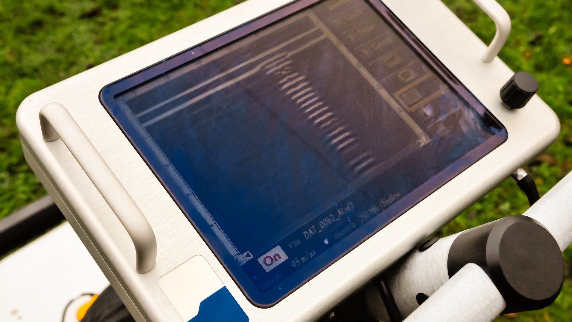
Modern GPR units typically consist of a transmitter antenna, a receiver antenna, and a control unit with a display screen. The antennas utilize different frequencies depending on the goal.
High-frequency antennas provide high resolution but cannot penetrate deep into the ground, making them ideal for concrete scanning or locating shallow pipes. Low-frequency antennas see much deeper but offer lower resolution, suitable for geological mapping or locating large, deep utility mains. Many GPR systems include GPS to provide precise geospatial coordinates for every finding, creating accurate digital maps to overlay on site plans.
Don’t Overlook GPR Surveys and Their Importance
Whether you are a homeowner installing a new fence, a developer breaking ground on a subdivision, or a city planner upgrading drainage systems, knowing what lies beneath is crucial. GPR surveys provide the vision necessary to avoid disaster. Before the first shovel hits the dirt, scan the site. It is a simple step that enables our community to continue building a bright future on a solid, safe foundation.